
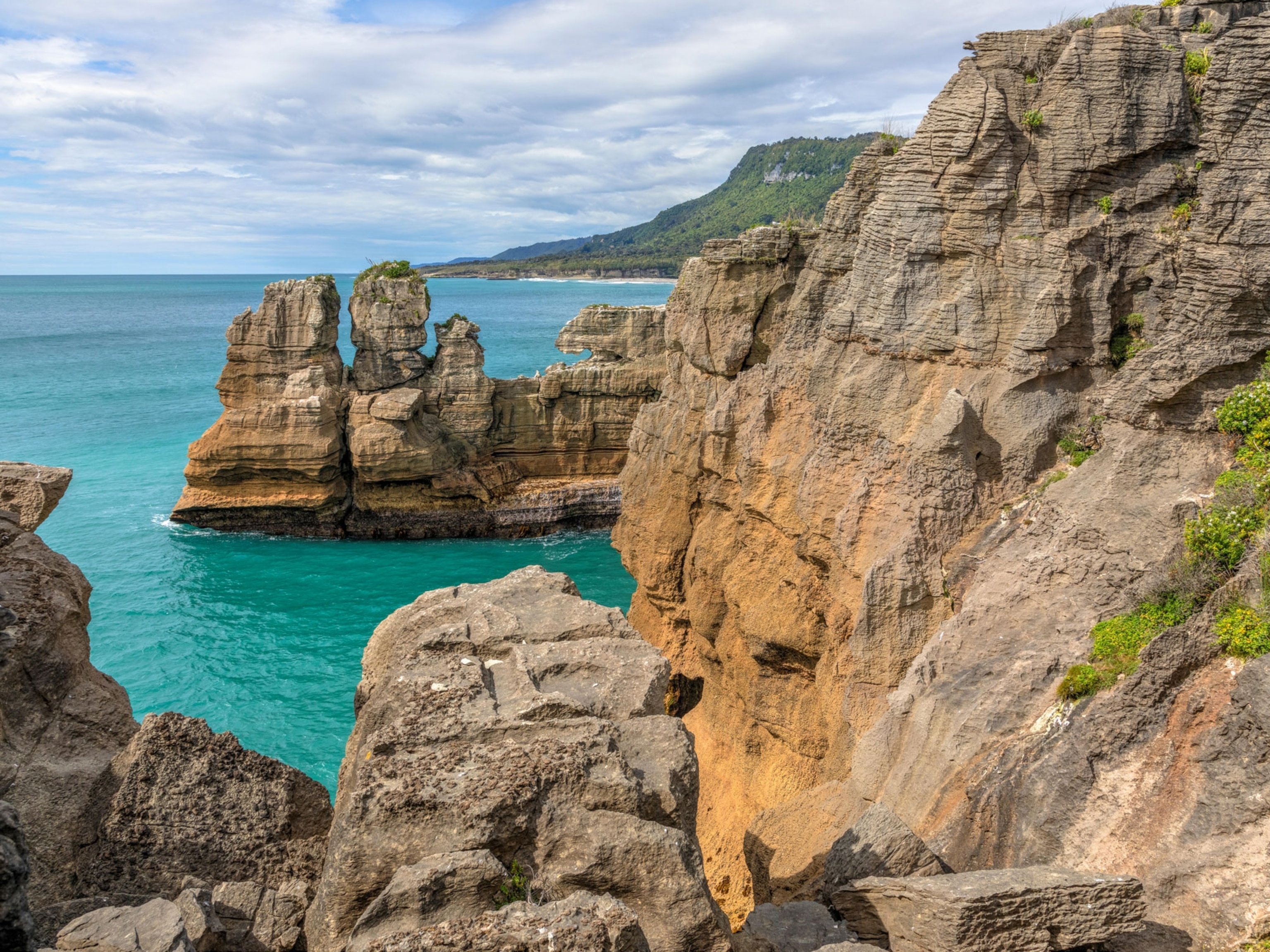
Valleys are depressed areas of land–scoured and washed out by the conspiring forces of gravity, water, and ice. Some hang; others are hollow. They all take the form of a "U" or "V."
Rivers and streams make most primary valley cuts, carving steep-walled sides and a narrow floor that from afar looks like the letter "V." The gradient of the river—how quickly it drops—helps define the steepness of the sides and the width of the floor. Mountain valleys, for example, tend to have near-vertical walls and a narrow channel, but out on the plains, the slopes are shallow and the channel is wide.
As waters wind toward the sea, they add to natural twists in the land by stripping sediment from the outsides of bends and dumping it on the insides. The bulk of the rock and dirt is dredged from the bottom of the channel, a process called down cutting that can ultimately lead to deep, slender chasms like Black Canyon in Colorado's Gunnison National Park.
Types of Valleys
Some river and stream valleys, especially those in the mountains or located near the North and South Poles, are transformed by glaciers.
The massive blocks of snow and ice slowly creep downhill where they will meet the least resistance: valleys already cut by rivers and streams. As the glaciers ooze, they pick up rocks and grind away at the valley floor and sides, pressing the "V" into a "U." When the glacier melts, a U-shaped valley marks the spot where the snow and ice once flowed.
Side valleys are formed by tributaries to streams and rivers and feed the main stem. Where the main channel is carved deeper than the tributary, as commonly occurs during glaciations, the side valleys are left hanging. Waterfalls often cascade from the outlet of the upper valley into the drainage below.
Hollows, like those in Appalachia, are small valleys nestled between mountains or hills.
See Photos of Canyons


Giant valleys, called rifts, are found where two pieces of Earth's crust are separated or split apart. One such example is the Great Rift Valley, a rift system stretching from the Middle East to southern Africa.
You May Also Like

Go Further
Animals
- Octopuses have a lot of secrets. Can you guess 8 of them?
- Animals
- Feature
Octopuses have a lot of secrets. Can you guess 8 of them? - This biologist and her rescue dog help protect bears in the AndesThis biologist and her rescue dog help protect bears in the Andes
- An octopus invited this writer into her tank—and her secret worldAn octopus invited this writer into her tank—and her secret world
- Peace-loving bonobos are more aggressive than we thoughtPeace-loving bonobos are more aggressive than we thought
Environment
- Listen to 30 years of climate change transformed into haunting musicListen to 30 years of climate change transformed into haunting music
- This ancient society tried to stop El Niño—with child sacrificeThis ancient society tried to stop El Niño—with child sacrifice
- U.S. plans to clean its drinking water. What does that mean?U.S. plans to clean its drinking water. What does that mean?
- Food systems: supporting the triangle of food security, Video Story
- Paid Content
Food systems: supporting the triangle of food security - Will we ever solve the mystery of the Mima mounds?Will we ever solve the mystery of the Mima mounds?
History & Culture
- Strange clues in a Maya temple reveal a fiery political dramaStrange clues in a Maya temple reveal a fiery political drama
- How technology is revealing secrets in these ancient scrollsHow technology is revealing secrets in these ancient scrolls
- Pilgrimages aren’t just spiritual anymore. They’re a workout.Pilgrimages aren’t just spiritual anymore. They’re a workout.
- This ancient society tried to stop El Niño—with child sacrificeThis ancient society tried to stop El Niño—with child sacrifice
- This ancient cure was just revived in a lab. Does it work?This ancient cure was just revived in a lab. Does it work?
Science
- The unexpected health benefits of Ozempic and MounjaroThe unexpected health benefits of Ozempic and Mounjaro
- Do you have an inner monologue? Here’s what it reveals about you.Do you have an inner monologue? Here’s what it reveals about you.
- Jupiter’s volcanic moon Io has been erupting for billions of yearsJupiter’s volcanic moon Io has been erupting for billions of years
- This 80-foot-long sea monster was the killer whale of its timeThis 80-foot-long sea monster was the killer whale of its time
Travel
- Spend a night at the museum at these 7 spots around the worldSpend a night at the museum at these 7 spots around the world
- How nanobreweries are shaking up Portland's beer sceneHow nanobreweries are shaking up Portland's beer scene
- How to plan an epic summer trip to a national parkHow to plan an epic summer trip to a national park
- This town is the Alps' first European Capital of CultureThis town is the Alps' first European Capital of Culture
