


There are a few handfuls of major plates and dozens of smaller, or minor, plates. Six of the majors are named for the continents embedded within them, such as the North American, African, and Antarctic plates. Though smaller in size, the minors are no less important when it comes to shaping the Earth. The tiny Juan de Fuca plate is largely responsible for the volcanoes that dot the Pacific Northwest of the United States.
The plates make up Earth's outer shell, called the lithosphere. (This includes the crust and uppermost part of the mantle.) Churning currents in the molten rocks below propel them along like a jumble of conveyor belts in disrepair. Most geologic activity stems from the interplay where the plates meet or divide.
The movement of the plates creates three types of tectonic boundaries: convergent, where plates move into one another; divergent, where plates move apart; and transform, where plates move sideways in relation to each other.
They move at a rate of one to two inches (three to five centimeters) per year.
Convergent Boundaries
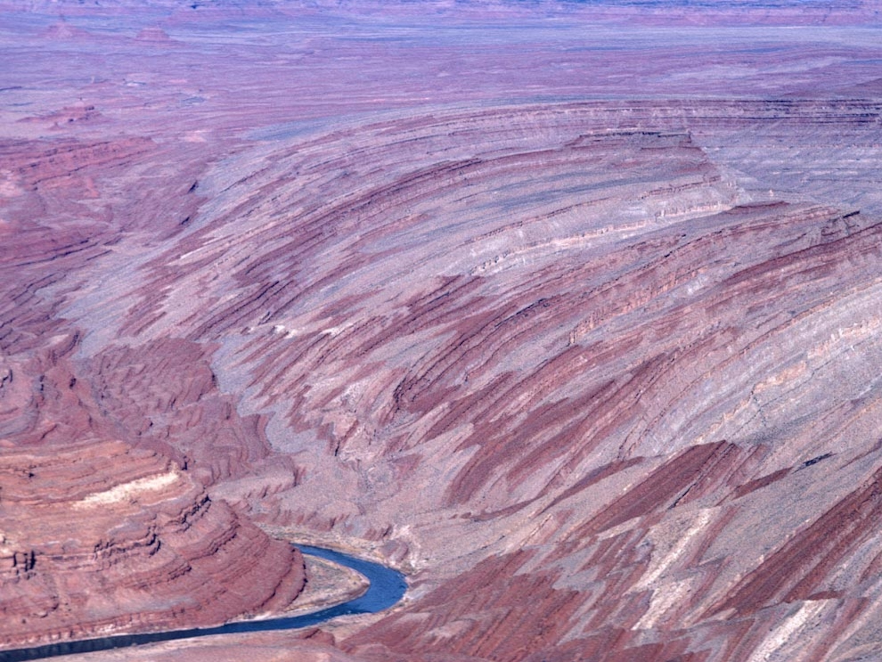
Where plates serving landmasses collide, the crust crumples and buckles into mountain ranges. India and Asia crashed about 55 million years ago, slowly giving rise to the Himalaya, the highest mountain system on Earth. As the mash-up continues, the mountains get higher. Mount Everest, the highest point on Earth, may be a tiny bit taller tomorrow than it is today.
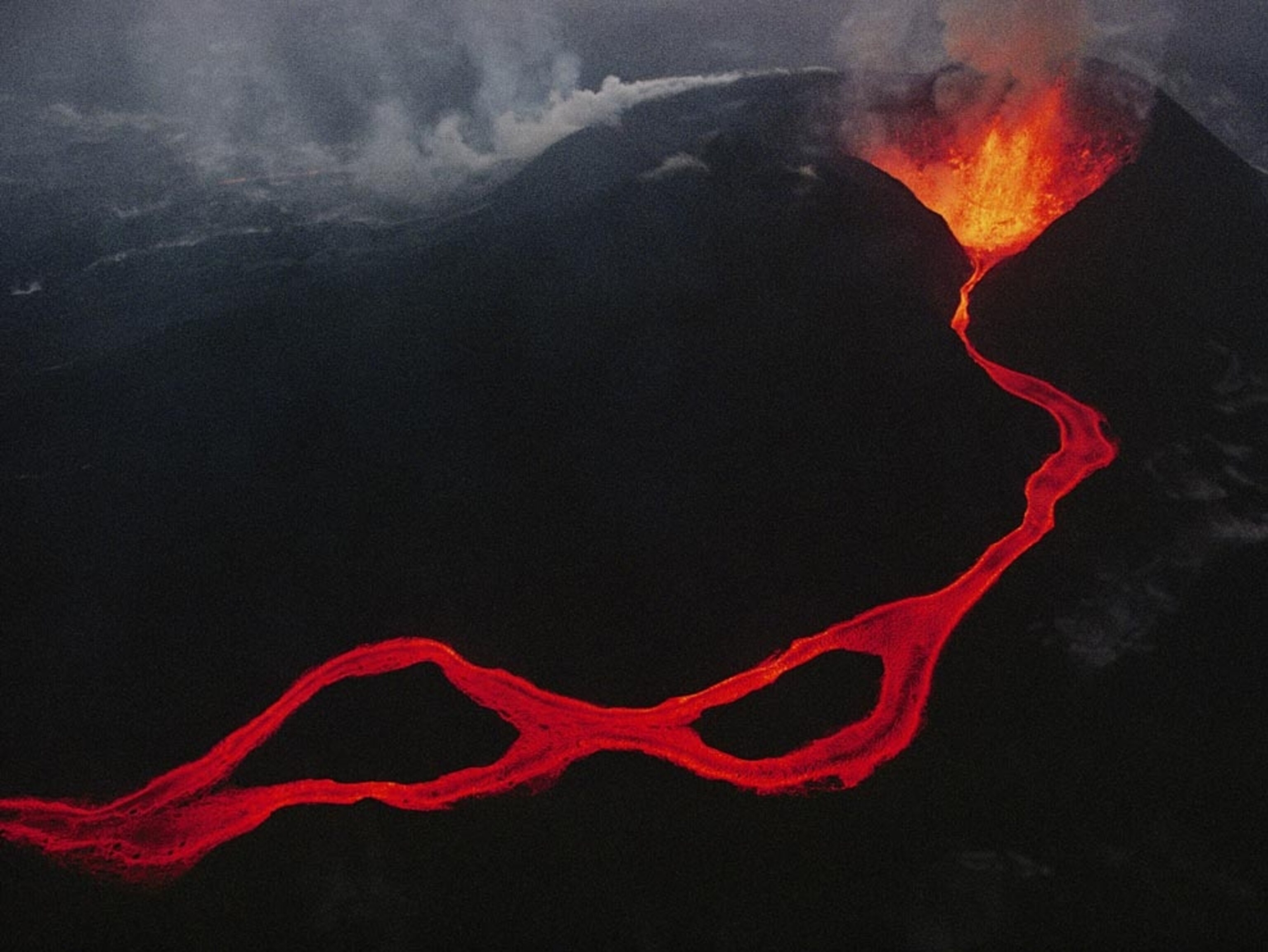
These convergent boundaries also occur where a plate of ocean dives, in a process called subduction, under a landmass. As the overlying plate lifts up, it also forms mountain ranges. In addition, the diving plate melts and is often spewed out in volcanic eruptions such as those that formed some of the mountains in the Andes of South America.
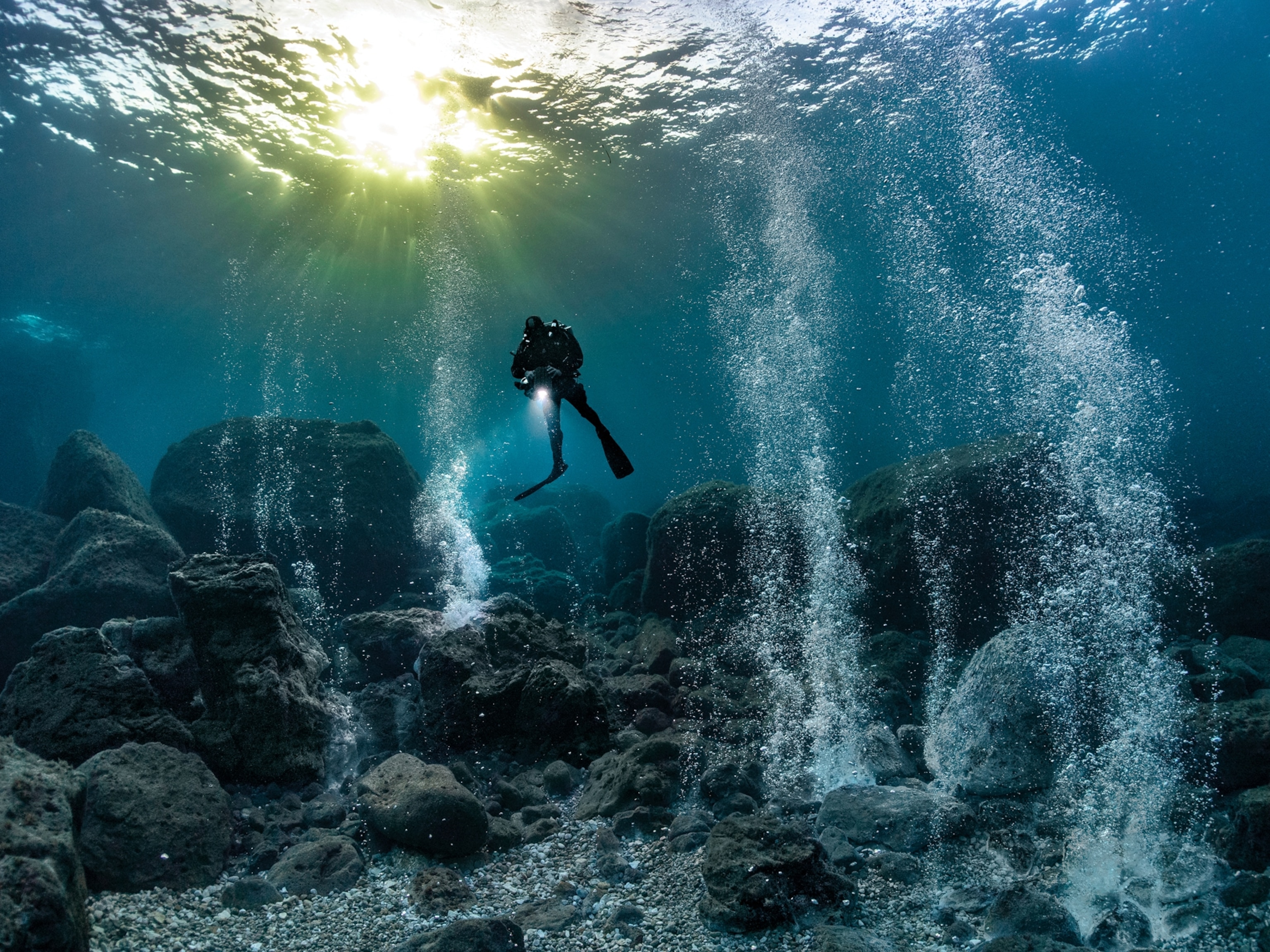
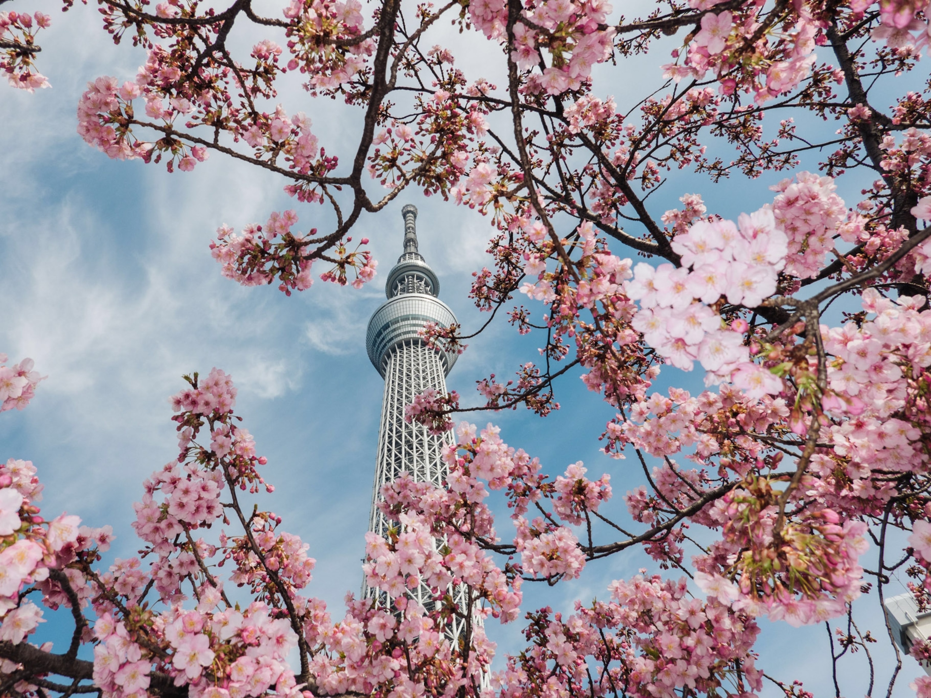
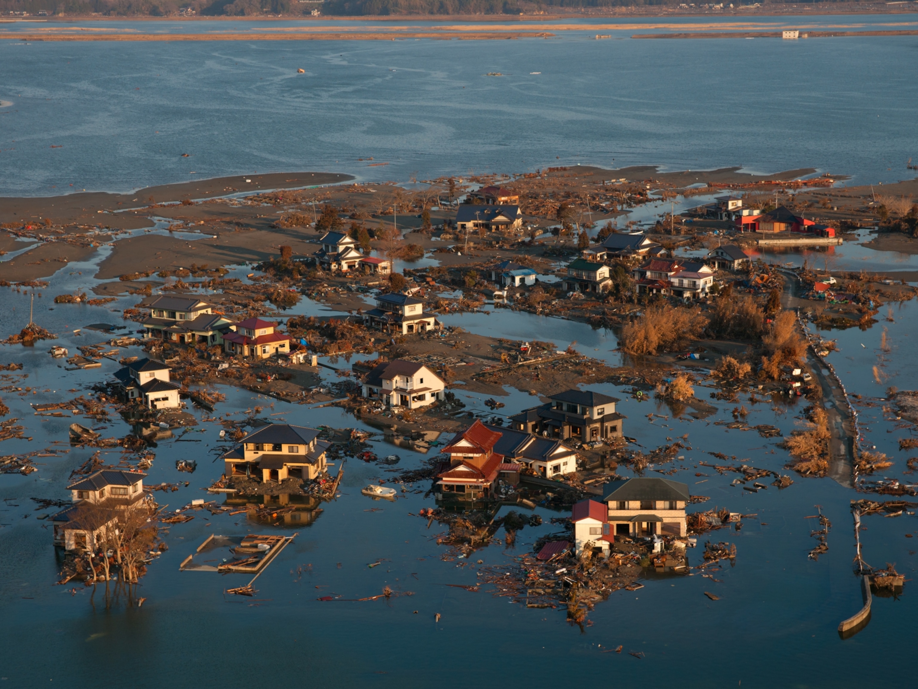
At ocean-ocean convergences, one plate usually dives beneath the other, forming deep trenches like the Mariana Trench in the North Pacific Ocean, the deepest point on Earth. These types of collisions can also lead to underwater volcanoes that eventually build up into island arcs like Japan.
Divergent Boundaries
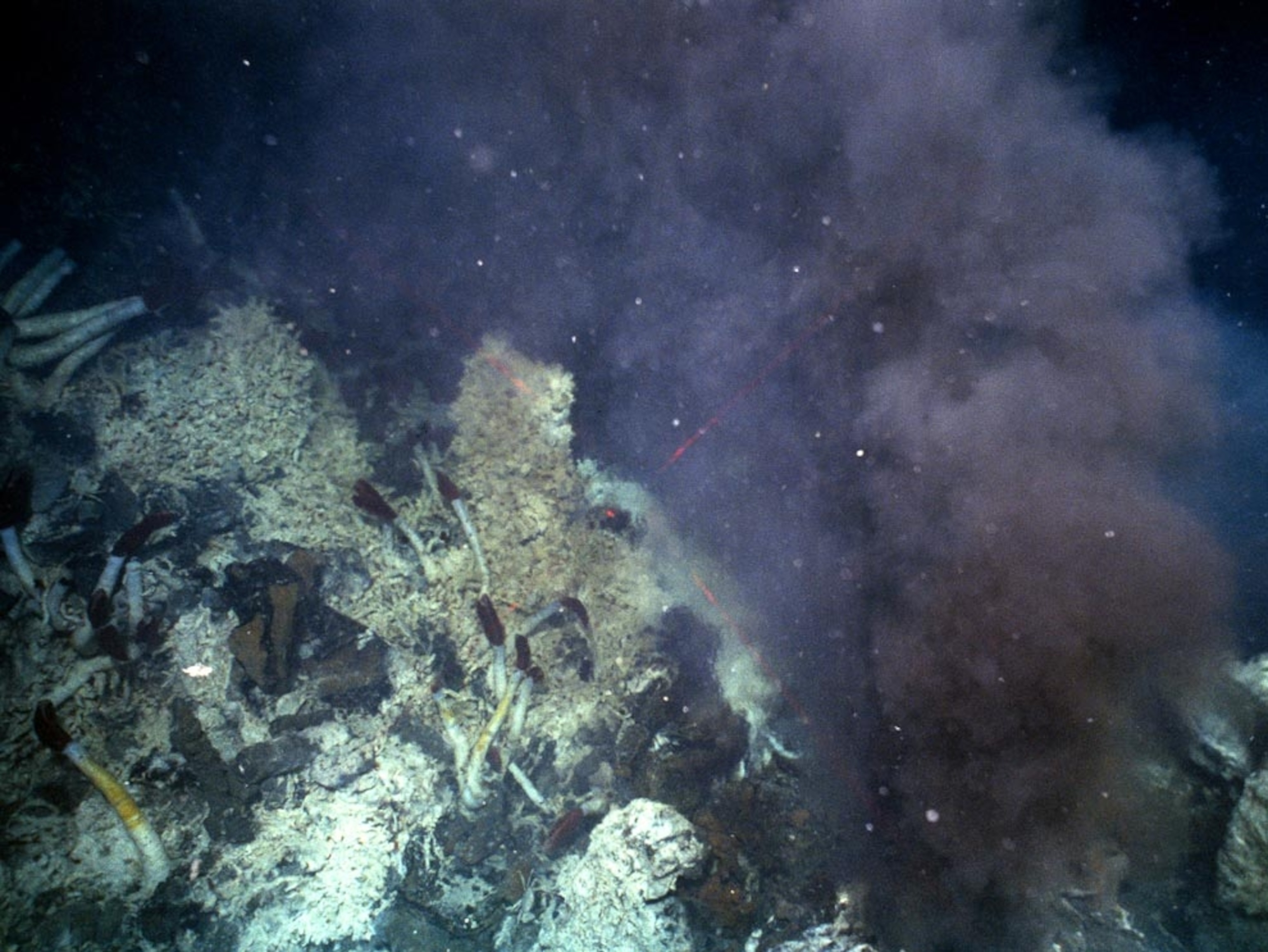
At divergent boundaries in the oceans, magma from deep in the Earth's mantle rises toward the surface and pushes apart two or more plates. Mountains and volcanoes rise along the seam. The process renews the ocean floor and widens the giant basins. A single mid-ocean ridge system connects the world's oceans, making the ridge the longest mountain range in the world.
On land, giant troughs such as the Great Rift Valley in Africa form where plates are tugged apart. If the plates there continue to diverge, millions of years from now eastern Africa will split from the continent to form a new landmass. A mid-ocean ridge would then mark the boundary between the plates.

Transform Boundaries
The San Andreas Fault in California is an example of a transform boundary, where two plates grind past each other along what are called strike-slip faults. These boundaries don't produce spectacular features like mountains or oceans, but the halting motion often triggers large earthquakes, such as the 1906 one that devastated San Francisco.
You May Also Like
Go Further
Animals
- What La Palma's 'lava tubes' tell us about life on other planetsWhat La Palma's 'lava tubes' tell us about life on other planets
- This fungus turns cicadas into zombies who procreate—then dieThis fungus turns cicadas into zombies who procreate—then die
- How can we protect grizzlies from their biggest threat—trains?How can we protect grizzlies from their biggest threat—trains?
- This ‘saber-toothed’ salmon wasn’t quite what we thoughtThis ‘saber-toothed’ salmon wasn’t quite what we thought
- Why this rhino-zebra friendship makes perfect senseWhy this rhino-zebra friendship makes perfect sense
Environment
- What La Palma's 'lava tubes' tell us about life on other planetsWhat La Palma's 'lava tubes' tell us about life on other planets
- How fungi form ‘fairy rings’ and inspire superstitionsHow fungi form ‘fairy rings’ and inspire superstitions
- Your favorite foods may not taste the same in the future. Here's why.Your favorite foods may not taste the same in the future. Here's why.
- Are the Great Lakes the key to solving America’s emissions conundrum?Are the Great Lakes the key to solving America’s emissions conundrum?
- The world’s historic sites face climate change. Can Petra lead the way?The world’s historic sites face climate change. Can Petra lead the way?
History & Culture
- Hawaii's Lei Day is about so much more than flowersHawaii's Lei Day is about so much more than flowers
- When treasure hunters find artifacts, who gets to keep them?When treasure hunters find artifacts, who gets to keep them?
- Meet the original members of the tortured poets departmentMeet the original members of the tortured poets department
- When America's first ladies brought séances to the White HouseWhen America's first ladies brought séances to the White House
Science
- Should you be concerned about bird flu in your milk?Should you be concerned about bird flu in your milk?
- Here's how astronomers found one of the rarest phenomenons in spaceHere's how astronomers found one of the rarest phenomenons in space
Travel
- Are Italy's 'problem bears' a danger to travellers?Are Italy's 'problem bears' a danger to travellers?
- How to navigate Nantes’ arts and culture scene
- Paid Content
How to navigate Nantes’ arts and culture scene - This striking city is home to some of Spain's most stylish hotelsThis striking city is home to some of Spain's most stylish hotels
- Photo story: a water-borne adventure into fragile AntarcticaPhoto story: a water-borne adventure into fragile Antarctica
