-
Plains Train
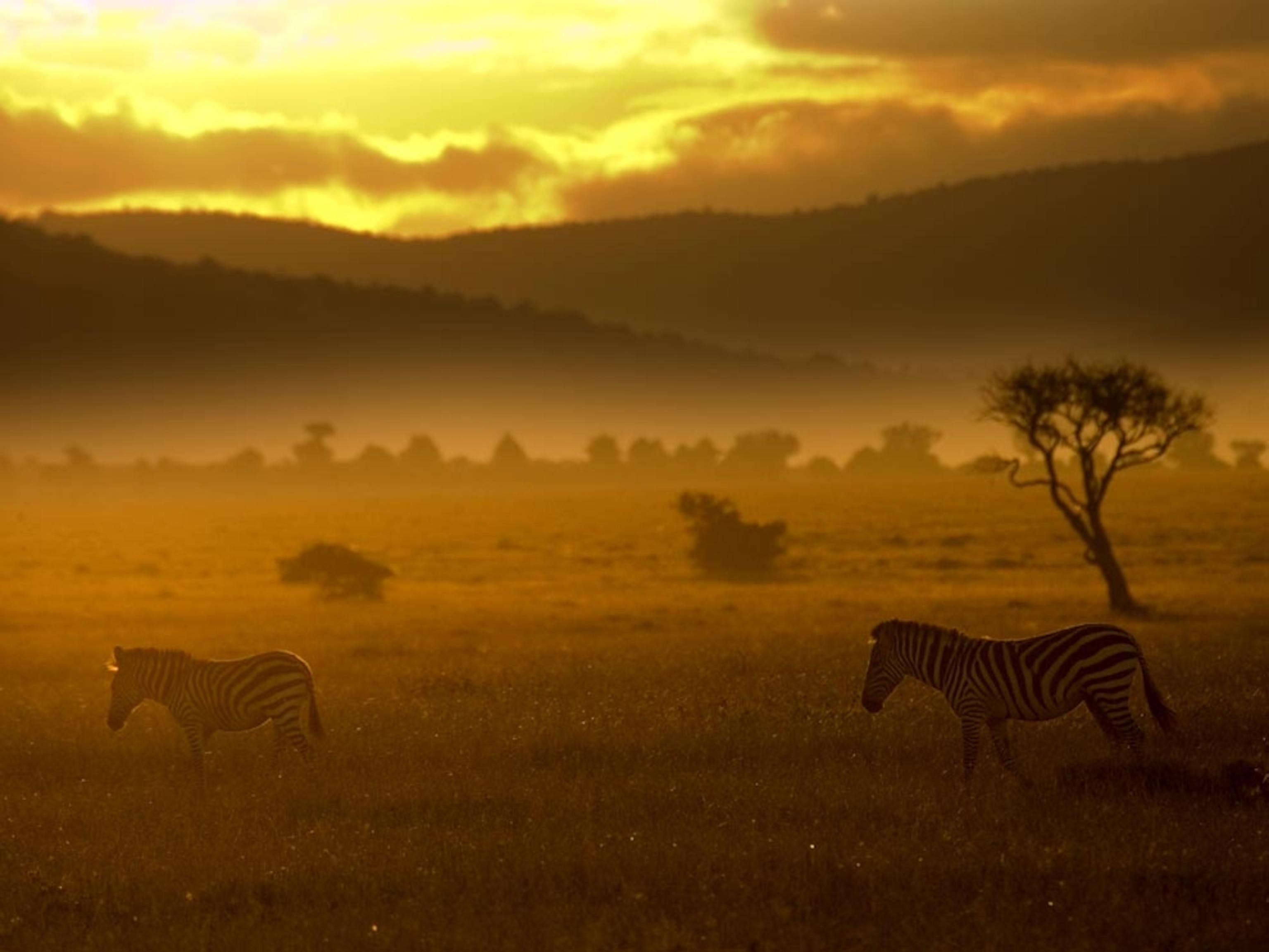
Photograph by Peter Essick
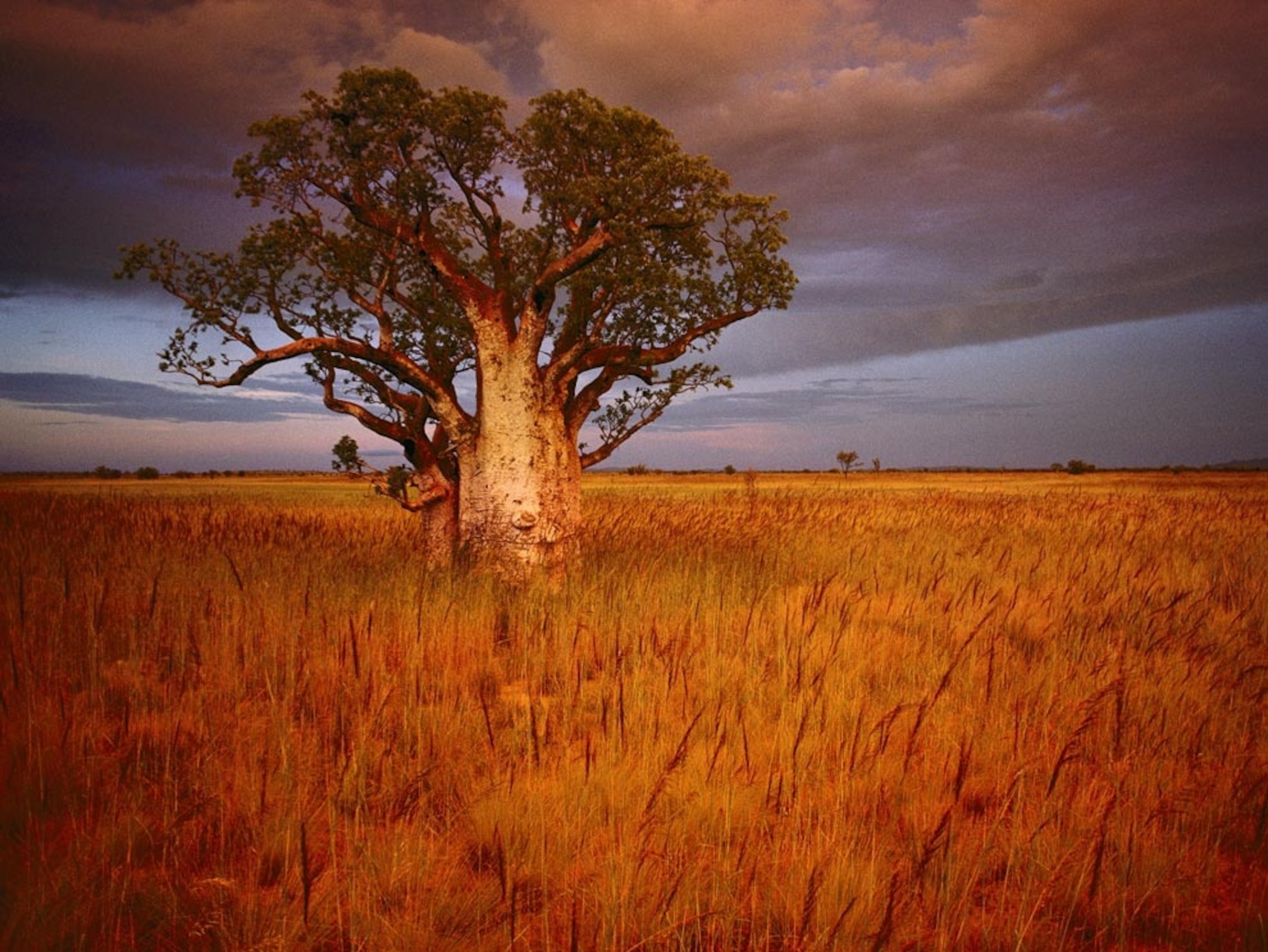
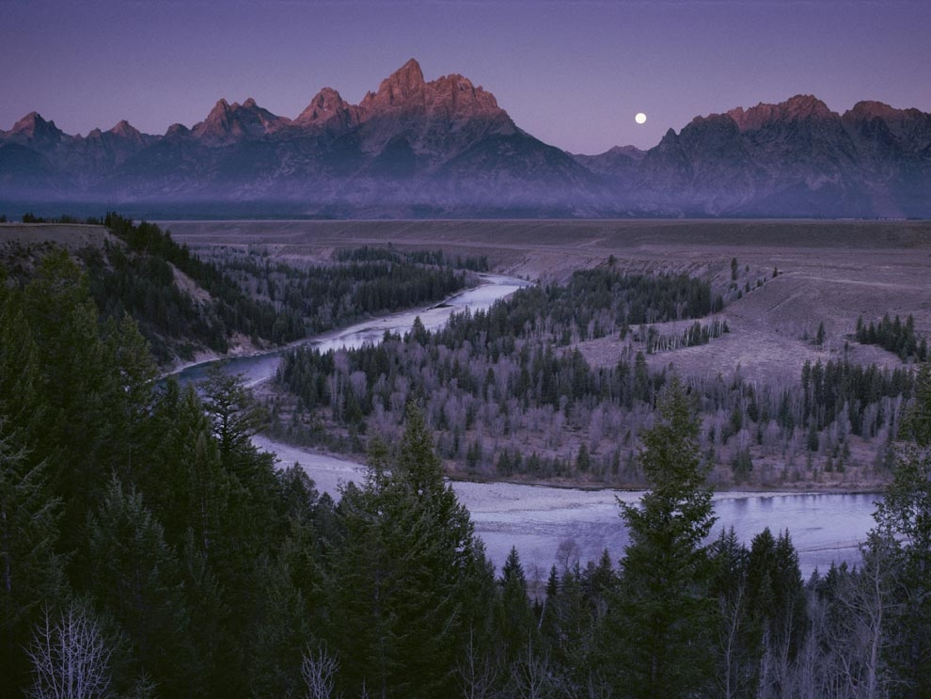
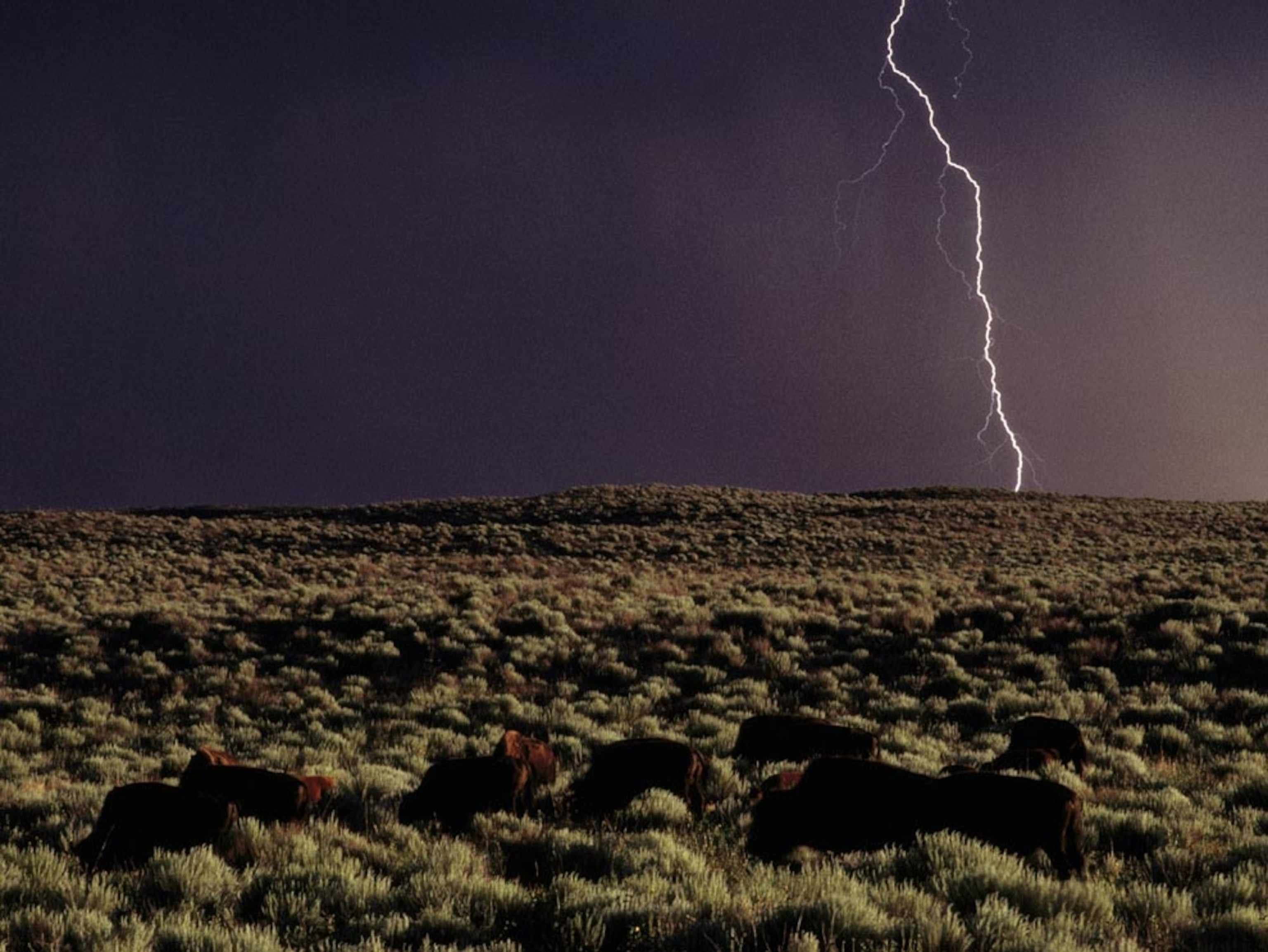
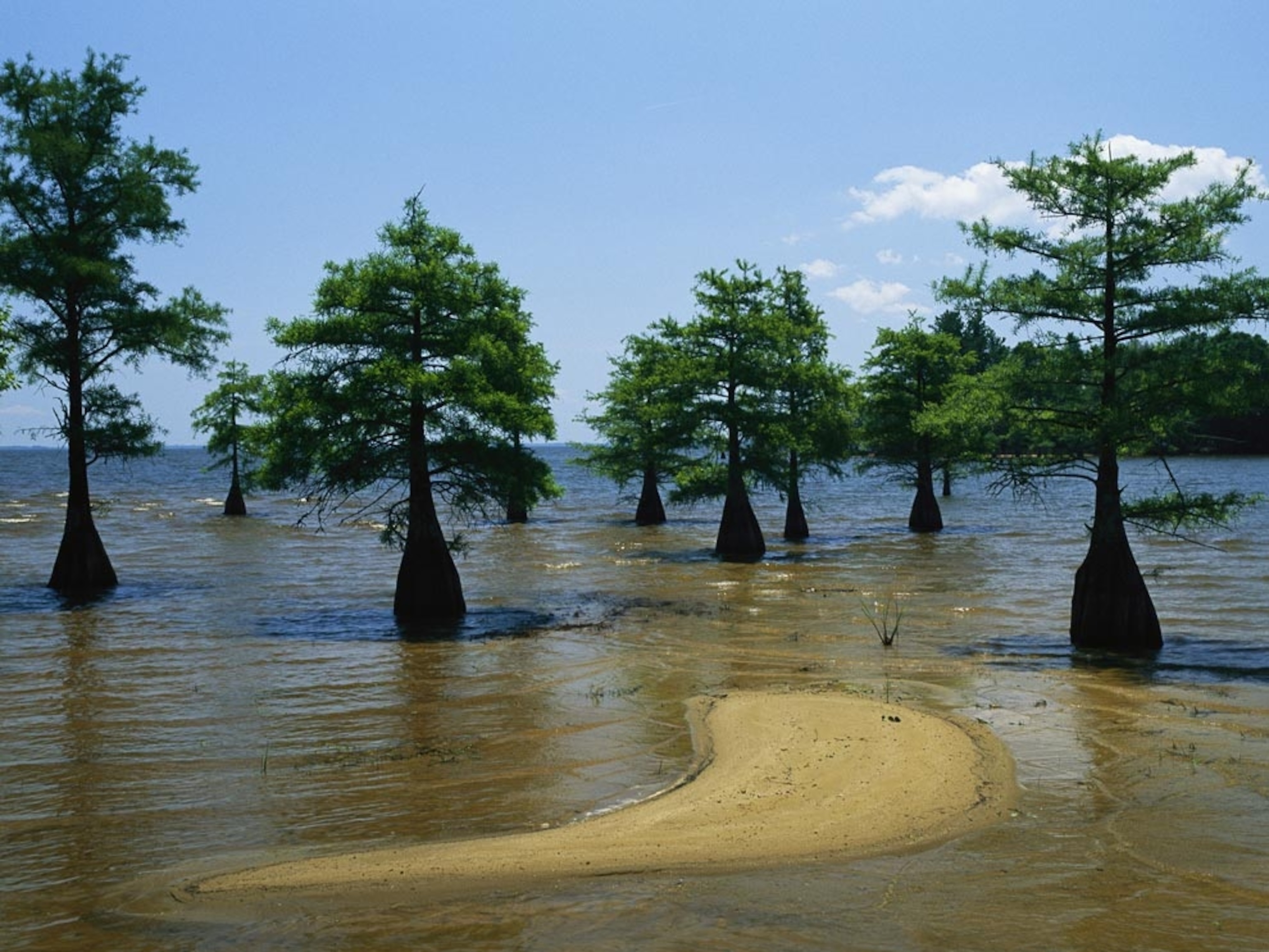
A steam locomotive chugs across an expanse of South America's storied Patagonia region. This dry, treeless plain was once home only to tribes of nomadic hunters but now hosts sprawling sheep farms, industries around the region's oil, gas, and minerals, and tourists who come to see Patagonia's vast, stark beauty.
-
Boab Tree, Australia
Photograph by Sam Abell
A massive boab tree, close relative of the African and Madagascan baobabs, stands alone amid the golden grasses of a plain near the town of Wyndham in Western Australia. Much of Western Australia's 7,800 miles (12,500 kilometers) of coastline gives way to broad coastal plains, such as this one, that extend inland to the state's hot, dry central plateau, known as the outback.
-
Snake River, Wyoming
Photograph by Raymond Gehman
The Snake River wends through wooded flats in Grand Teton National Park, Wyoming. A wide, sage-covered plain, home to bison and moose, stretches across the valley to the base of the jagged Teton Range, which rises abruptly from the valley floor.
-
Kansas Prairie
Photograph by Bruce Dale
A herd of bison (foreground) rests on a Kansas prairie as a thunderstorm looms. The Great Plains run through the heart of North America, from southern Canada through the middle of the United States and just into northern Mexico. The Great Plains are divided into shortgrass regions in the super-dry west, mixed-grass in the middle, and tallgrass regions in the wetter east.
-
Coastal Plain
Photograph by Raymond Gehman
Young cypress trees stand in a flooded coastal plain in the southeastern United States. Coastal plains are low-lying flatlands on the edge of a sea, in this case the Gulf of Mexico. Cypresses, with their tolerance for brackish water, thrive in these ecosystems.
-
Australian Oasis
Photograph by Jason Edwards
Is it water or a mirage? Shallow lakes like this one, created by seasonal rains, form infrequently and disappear quickly in the desert plains of Australia's Witjira National Park. Located within the Simpson Desert, Witjira is also home to Dalhousie Springs, Australia's largest complex of artesian thermal springs.
-
Botswana Floodplain
Photograph by Bobby Haas
Torrents of seasonal floodwaters turn this dry, grassy plain into a swirling oasis in Botswana's Okavango Delta. Every year, this inland delta system, among the largest on Earth, floods, turning a 10,000-square-mile (25,900-square-kilometer) swath at the edge of the Kalahari Desert into a soggy alluvial fan that hosts a mind-boggling diversity of animal life.
-
Kenya Plains
Photograph by Roy Toft
Two zebras graze the grassland at dusk in Kenya's Masai Mara National Reserve. Every year, the reserve's 200,000 zebras join 1.5 million wildebeests in an epic migration, following the rain more than 300 miles (480 kilometers) from Tanzania into Kenya in the dry season, then south again to foal on the storm-soaked Serengeti Plain.
-
Arctic Highway
Photograph by Danita Delimont/Alamy
The James Dalton Highway cuts a lonely path through Alaska's icy Arctic coastal plain. The highway, 414 miles (666 kilometers) of gravel known as the Haul Road, was built to haul construction crews to the Prudhoe Bay oil fields. A barren, often treacherous track, it has only been open for use by the public since 1994.
-
Okavango Channel
Photograph by Beverly Joubert
Every year, drought-withered Botswana receives the gift of life. Rain that fell three months ago and 500 miles (800s kilometers) away in the highlands of Angola snakes down the Okavango River and overflows into the Okavango Delta, filling channels like this serpentine offshoot and inundating the floodplain.
-
Lena River Delta, Russia
Photograph courtesy USGS EROS Data Center
A view from space shows the expansive Lena River Delta floodplain, at 12,000 square miles (30,000 square kilometers) one of the world's largest. Resting in Russia's North Siberian Lowland, this Arctic coastal plain has a Dr. Jekyll and Mr. Hyde complex. In the winter it is an unlivable, harsh tundra, but in the spring, it supports a diverse crowd of wildlife, including fish, sea mammals, wolves, and millions of migratory birds. The delta is fed by the north-flowing Lena River—one of the longest in the world at 2,800 miles (4,400 kilometers).
Related Features
Shop National Geographic
2011 Emerging Explorers
ScienceBlogs Picks
-
Steady Hands and Fins
Photographer David Doubilet photographs stingrays, sharks, and more.
-
Survival Guide: Dodging Locusts
Swarm behaviorist Iain Couzin has a toxic reaction to a locust at the same time his team runs out of food.
Advertisement
National Geographic Channel
-
Rocket City Rednecks
Wednesdays at 9P and 9:30P
Meet a group of backwoods Alabama geniuses who tackle problems with hillbilly ingenuity.
-
Mad Scientists
Wednesdays at 10P and 10:30P
Travel across America with host John Bowler as he seeks out the weirdest inventions.
-
National Geographic Investigates
Fridays at 8P, 9P, and 10P et/pt
Get up close with some of the world's most fascinating underground communities, from gangs to cults to organized crime families.
National Geographic Magazine
-
Staffordshire Gold Hoard Pictures
Buried in the English countryside. Anglo-Saxon in origin. Who hid it and why?
-
Iceman Unfrozen Photo Gallery
There was only one way scientists could unlock the mystery of the famous iceman. Take away his ice.
-
Africa's Rift Valley Pictures
As the global population soars toward nine billion by 2045, this corner of Africa shows what's at stake in the decades ahead.
-
Steady Hands and Fins
Photographer David Doubilet photographs stingrays, sharks, and more.
-
Survival Guide: Dodging Locusts
Swarm behaviorist Iain Couzin has a toxic reaction to a locust at the same time his team runs out of food.